GÉOSMARTIC
[Automatic translation follows] We help professionals and communities to promote their territories or sites and to carry out projects there.
Benefit from advance vision with GÉOSMARTIC:
We boost the attractiveness of your community thanks to your interactive HD map (10 to 100 x in progress vs. satellite) and multilayers to emphasize your businesses, municipal services, heritage, hiking trails and ZAC in particular. Your 3D buildings give volume to your town. HD resolution magnifies your achievements. Finally, hikers benefit from geolocation. Your ZACs are demarcated, you benefit from drone photographs, all this on a single interactive map that can be hosted on your website to promote your attractiveness.
Municipal pack from €5,000 excluding tax.
Pack communities of municipalities and departments and natural parks.
Possible application to industrial sites.
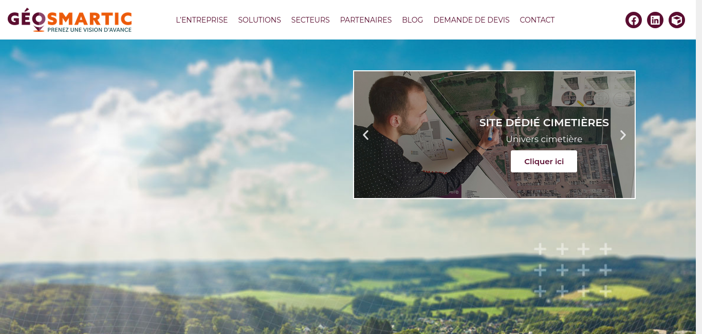
For the management of your cemeteries, benefit from the best possible service thanks to SMART cemeteries to do without plans, benefit from precise and simple visualization, the geolocation of the deceased and support you in your administrative procedures (land projection, recovery of graves, fine reminder of concession). Reduce the time spent in the field and allow families to see the state of maintenance of the monuments from a distance.